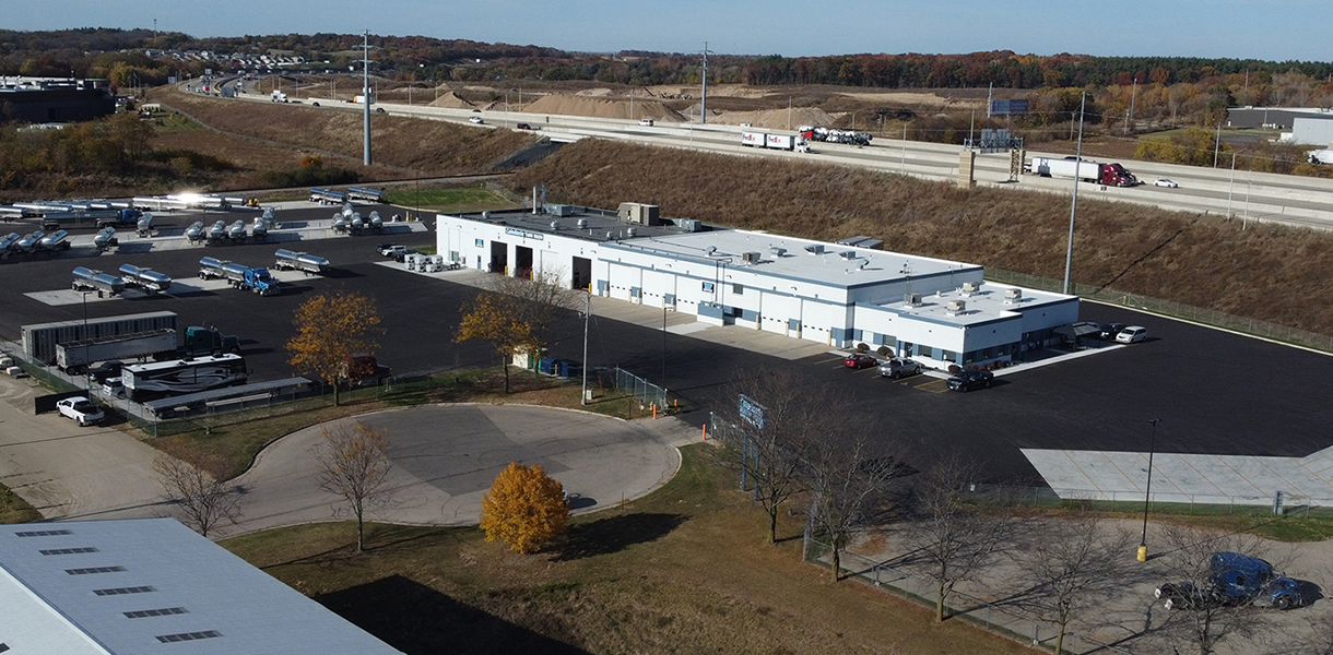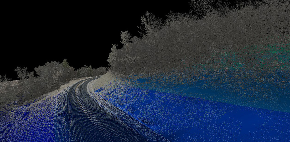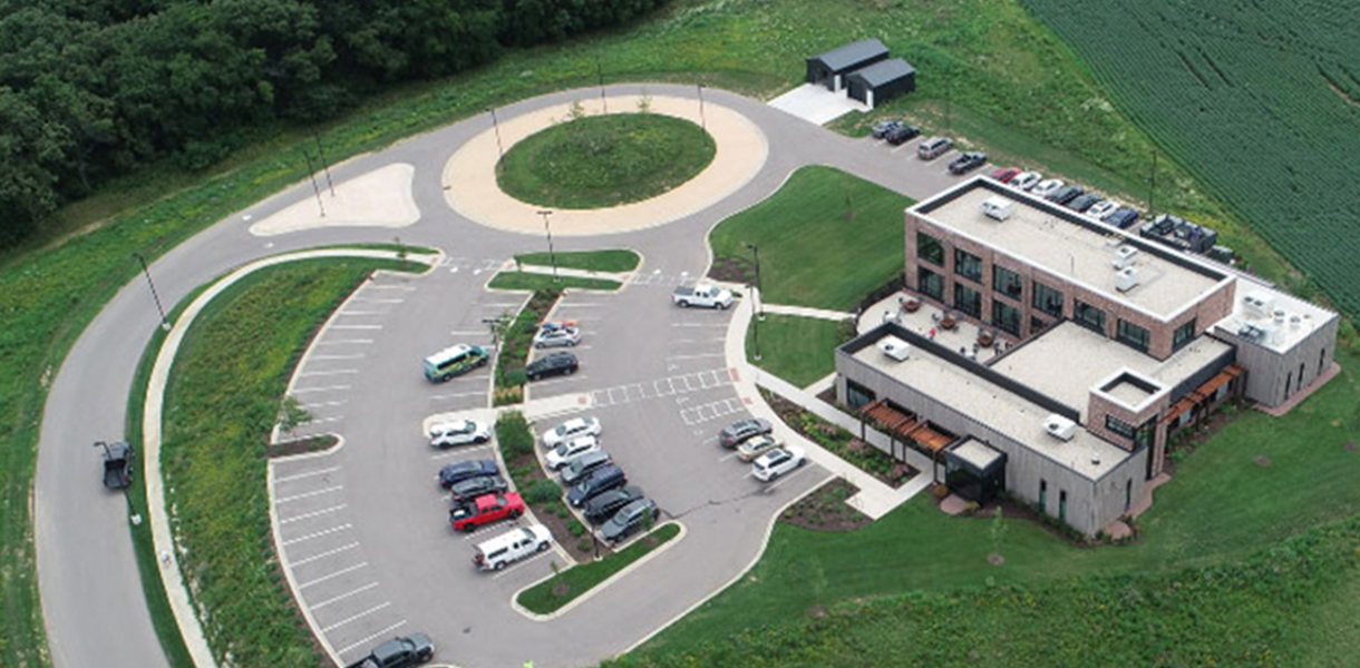
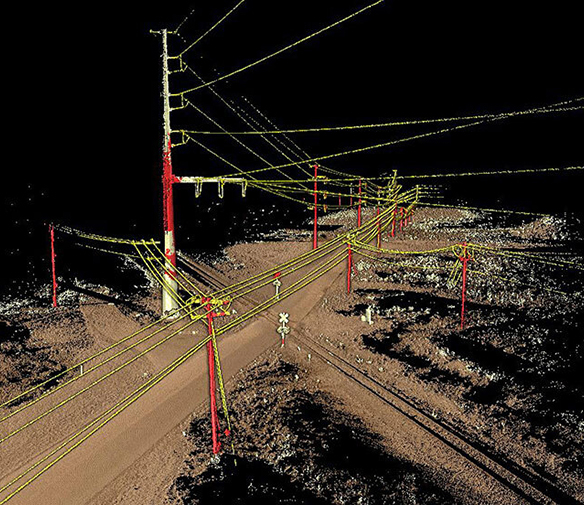
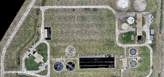
Batterman offers advanced data collection methods to create high-resolution 3D maps of a wide variety of terrain. Our experienced and knowledgeable team is equipped with the latest equipment, including UAVs (drones) and terrestrial scanners, as well as the most up-to-date software to process and manage data deliverables.
Using these methods and tools to survey a site development or roadway project significantly reduces the time required to collect data compared to traditional methods, saving a substantial amount of time conducting fieldwork. Our team can also utilize this technology to efficiently map large and complex interior spaces in intricate detail for accurate architectural planning
The resulting project data is extremely accurate, delivered fast, and the overall surveying and mapping costs can be lower.
Why Use Surface Mapping?
- Cost-effective for initial site planning
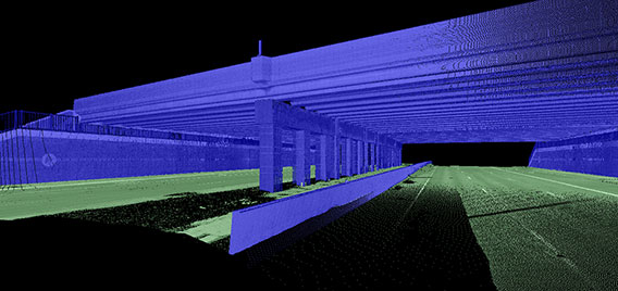
- Map roadway corridors and utilities without lane closures
- High-level of detailed ground topographic data, through trees and vegetation
- Comprehensive presentation maps based upon current site conditions
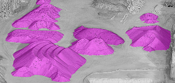
- Quantity calculations of mining and aggregate operations, inventoried safely and efficiently
- Capture data for hard-to-reach or inaccessible areas
- As-built inspection reports
Additional Services Offered by Our Drone Flight Team:
- Construction site monitoring and progress
- Photographs and videos for marketing materials or project documentation
Our Quality Assurance Protocol:
- Plan + Schedule – We assess your site, set mission parameters, and define outputs.
- Capture Point Cloud Data – Our team scans the surface using terrestrial, mobile, and/or aerial (drone) LiDAR. When deploying a drone, Photogrammetry is also captured. Hundreds of millions of data points are collected in one short site visit, eliminating the need for multiple days of surveying.
- Extract + Validate – Our processing team turns raw data into precise files with multi-stage accuracy checks throughout the workflow.
- Final QA + Delivery – A professional licensed surveyor verifies the project, and the specified files are delivered with a complete validation report with checkpoint analysis.
Data Deliverables
| Deliverable | Description | Applications |
| Classified 3D Point Clouds (LAS/LAZ) | Ground/surface/above-ground features with professional classification | Design modeling, analysis, and visualization |
| Digital Terrain Models (DTM) | Survey-grade bare-earth surfaces meeting ASPRS standards | Grading, drainage design, cut/fill analysis |
| Topographic Contours (1’ intervals | Manually verified contour lines with spot elevations | CAD integration, planning applications |
| Surface TIN Files (LandXML/TTM) | Engineering-ready surfaces for immediate import | Civil 3D, Trimble, design platform integration |
| High-resolution Orthomosaics | Georeferenced imagery suitable for project basemaps | Visualization, progress documentation |
| Professional CAD Linework (DXF/DWG) | Planimetric features extracted and drafted to standards | Design integration, plan development |
Successful Missions:

82-Acre New Site Development – Our DJI Matrice 350 RTK drone captured LiDAR and photogrammetry data in just over 22 minutes of flying time. A traditional survey would have taken multiple days of fieldwork.
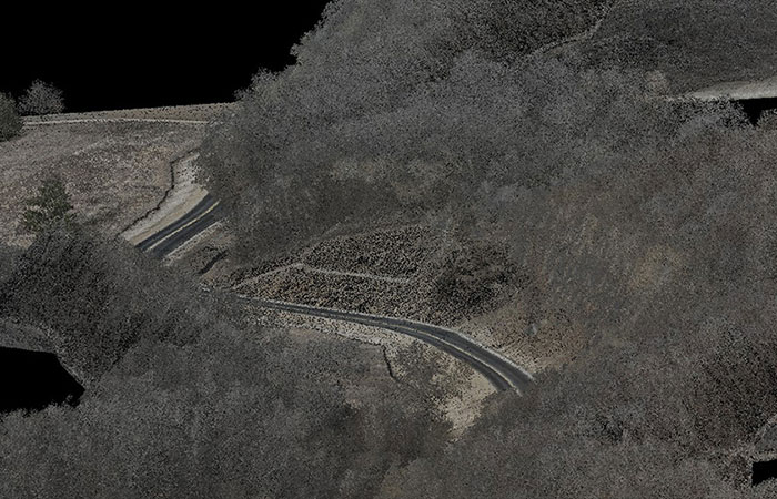
Seven Miles of Rural Roadway – Steep slopes and dense vegetation surrounding the roadway posed significant challenges and safety concerns for the surveyors. Implementing our LiDAR UAS enabled us to safely collect data, process it, and deliver the results within approximately one week. Obtaining the same dataset through conventional survey methods would have taken one to two months.
Hard-to-Reach Attic Space – The architect was unable to safely and accurately assess the existing conditions of a weather-damaged attic space in a historic building. Utilizing a terrestrial LiDAR scanner to map the space, we were able to supply a highly detailed 3D model
Contact our Survey team today to discuss your project needs and request a quote.
608.365.4464
Kristin Belongia, PLS
Vice President of Survey
kbelongia@rhbatterman.com
Jace Vegter, PLS
Survey Project Manager
jvegter@rhbatterman.com
Glossary of Terms
LiDAR – Light Detection and Ranging, a remote sensing method that uses laser pulses to measure distances to a surface. It generates highly accurate 3D maps (point clouds) by calculating the time it takes for the laser to bounce back. LiDAR can be captured with terrestrial, mobile, and drone scanners.
Photogrammetry – The science of making measurements from photographs, typically aerial images taken by a drone. It reconstructs 3D models by analyzing the overlapping images taken from different angles.
UAV/UAS – Unmanned Aerial Vehicle (UAV), often referred to as a drone. An Unmanned Aircraft System (UAS) refers to the entire system used to collect data, which includes the UAV, ground control system, software, and other necessary components.