Batterman has been providing Professional Land Surveying services since 1917. Over the years, we have continued to embrace new technological changes that have transformed the way survey work is performed while maintaining solid fundamentals and principles.
Our friendly and experienced team is committed to delivering high-quality, cost-effective services within the scheduled timeframe for both commercial and residential properties throughout Wisconsin and Northern Illinois.
Give us a call at 608.365.4464 or fill out the form at the bottom of the page to request a quote!
Services Offered
A land division is the process of creating and defining new lots, either using a Certified Survey Map (up to four lots) or a Subdivision Plat (five or more). Both Certified Survey Maps and Subdivision Plats must go through a review and approval process involving the State, County, Town, and City/Village authorities. Batterman manages the entire process to ensure smooth coordination with governing bodies.
Also known as a boundary or lot line survey, this survey retraces the existing property boundaries. Generally, the property corners are established through thorough research and fieldwork by a survey crew, then recovered or replaced if missing. In addition to establishing the property corners, other improvements can be measured and added to the mapping upon the client’s request.
Why you may need a property or boundary survey:
- New fence
- Site improvements
- Establish property lines
- Buying or selling
- Plan future improvements
- Property line disputes
- Landscaping
- Protect your investment
FREQUENTLY ASKED QUESTIONS
How much does a survey cost?
The survey cost depends on many variables and can range from hundreds to thousands of dollars. Some of the information the surveyor considers when providing a quote for surveying services includes the following:
- If the property is residential or commercial.
- The size of the property.
- How the property is described (i.e., in a subdivision or not).
- The purpose of the survey (i.e., to know where the line is or to sell).
- Existing terrain (i.e., wooded, waterways, restricted access).
How long does a survey take to do?
For most surveys, Batterman can provide about a three-week timeline for completing the survey and map. However, a complicated or phased survey could be longer. Land divisions that require review and approval by municipalities could take months to complete because of meeting timelines.
Do I need to be home when the survey is being done?
No, in most cases, the landowner does not need to be present during the survey. Unless access to a locked gate is required. Batterman staff notifies the landowner on the way to the property so there are no surprises. If necessary, we may be able to meet landowners on-site on a specific day and time to discuss concerns.
How do I pay for the survey?
Batterman will provide a contract for services with clear expectations of what has been agreed upon for surveying services provided and the cost. Once this contract is signed and a 50% deposit for services is made, the survey is placed on the schedule. The survey is then completed, and once all work is satisfactory, an invoice will be sent for the remaining balance due.
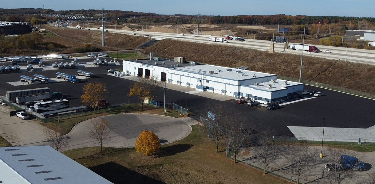
ALTA/NSPS Land Title Surveys play a critical role in the due diligence process for real estate transactions or refinances. Compliance with ALTA/NSPS standards is essential to avoid costly delays and potential risks.
DISCOVER MORE about ALTA/NSPS Land Title Surveys and our client-centered approach to delivering a high-quality product.
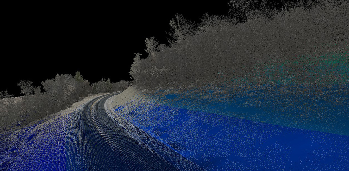
Advanced data collection methods and tools, such as drones equipped with LiDAR and photogrammetry, are used to create high-resolution 3D maps of terrain. This surveying approach significantly reduces the time required compared to traditional surveying methods, saving time in the process of performing fieldwork. The resulting surface data is accurate while also being more timely and cost-effective for large-scale projects.
DISCOVER MORE about the various applications and benefits of this surveying method.
Staking
Construction layout and staking services ensure precise placement of structures and infrastructure according to site plans. This includes marking locations for foundations, utilities, roads, and other essential features.
/LOMA
FEMA Elevation Certificates show a property’s elevation relative to FEMA-established flood levels. Lenders often require this certificate, which can help reduce insurance costs. If your property is found to be above the floodplain elevation, a Letter of Map Amendment (LOMA) will be required to be removed officially. They are required to be prepared by a licensed land surveyor, registered professional engineer, or architect.
Contact our Survey team today to discuss your project needs and request a quote.
608.365.4464
Kristin Belongia, PLS
Vice President of Survey
kbelongia@rhbatterman.com
Craig Geiser, PLS
Senior Survey Project Manager
cgeiser@rhbatterman.com
Jace Vegter, PLS
Survey Project Manager
jvegter@rhbatterman.com
Jim Toberman
Construction Staking Project Manager
jtoberman@rhbatterman.com